Thursday, January 10, 2019

Day 32: Borregas Station to Adobe Creek

The superstructures of Moffett Field


Day 32: Borregas Station to Adobe Creek
(Sunnyvale to Mountain View) 
Circle The Bay Part 3
January 4th 2019

6.6 miles in 1 hrs 14 mins


(Total:  344.5 miles in 76 hrs 32 mins)


I am a day or two away from completing this circuit of the bay.  This section from Sunnyvale to Mountain View is the most fraught with memories for me.  I had my first job in California underneath Google's new super tent they are building in the Shoreline industrial park in Mountain View.  Too bad they had to let a lot of the redwoods die under where the tent was going.  Hard for me to believe that they were drought kills, or they had a conservation policy of not watering them

And Sunnyvale was the location of my first venture-backed startup.  That company is still going, making big waves in the semiconductor and artificial intelligence fields, and as a stakeholder I wish them well.  I also have to have gratitude that they gave me freedom to pursue this adventure.

But the biggest presence in this area is the federal government and military-industrial contracting (i.e. Lockheed Martin).  Well actually the fed's are on furlough right now.  And they have leased Moffett Field to the Google boys for 99 years with its oversized blimp hangars and wind tunnel.  Along with their fleet of military planes, a warm water port in Redwood City, and an international revenue and intelligence gathering operation, what else do they need to be an independent sovereign?  Here's hoping the democracy of the United States keeps them reigned in, or at least working for our side.

The trail next to Sunnyvale's garbage hill

The view from Sunnyvale's garbage hill

Always need a selfie now and then

Lonely park bench

Approaching the military industrial complex

Attempt to retake favorite selfie from walking around the bay

Sign Of The Times


A stand of cormorants on old walkway piers to the power towers

Yes we have duck hunting on they bay


Waterfowl away from water

Google's new tent superstructure to cover several blocks of industrial park

Shoreline Golf Course, the only golf course I ever played in California

Those big birds on stilt like legs


Friday, January 4, 2019

Day 31: Tasman Station to Borregas Station


Day 31: Tasman Station to Borregas Station
(San Jose to Sunnyvale) 
Circle The Bay Part 3
December 19th 2018

14.5 miles in 1 hrs 52 mins

(Total:  337.9 miles in 75 hrs 18 mins)


On the bike I spend more time exploring circular trails that jut out into the bay and its wetlands.  Today I rode around a restored salt evaporation pond.  There is no one else out there for miles of riding on barely tracked levees.  And with recent rains its becomes an adventure to maintain complete traction.

At the south CA-237 end of the bay 3 notable creeks become brackish sloughs at their mouth, Coyote, Guadalupe, and San Tomas.  Hard to imagine what it originally looked like with native vegetation down to the tidal mudflats at the edges of the sloughs as they curved and joined.  

Visiting the north CA-37 end of the bay does help though.  The Petaluma River winds through miles of wetland, and both sides of Sears Point have long stretches of open land down to the bay, not all of it historically used for agricultural or salt production.

Looking forward to seeing more restoration of bay wetland, for the most part letting nature do its thing with a little help from its friends.

Tasman Station


Capitol Expressway Tracks

Map of Alviso


Alviso Underground Pipe Construction


Disk Drive


Mallards in Don Edwards SF Bay NWR

Another Don Edwards SF Bay NWR center

Outflow between restored salt ponds

Inflow between restored salt ponds

Capitol Corridor tracks between restored salt ponds

Wildlife Refuge

Adequate flood path for Guadalupe Creek under CA-237

CA-237 Bike Path rises up over San Tomas Creek Levee

Retaining Wall along San Tomas Creek

San Tomas Creek


Wednesday, December 19, 2018

Day 30: Mud Slough to Tasman Station

Near the Mouth of Coyote Creek


Day 30: Mud Slough to Tasman Station
(Fremont to San Jose) 
Circle The Bay Part 3
December 6th 2018

8.8 miles in 1 hrs 15 mins

(Total:  323.4 miles in 73 hrs 26 mins)


This ride was for the most part along the last stretch of Coyote Creek (which should be called Coyote River) before its mouth at the southeast end of the bay.  There is a serious amount of flood engineering along this corridor, because the creek drains most everything south of it to Morgan Hill.  Unlike the creeks of eastern and western bayshore, it has many more miles of drainage due to arrangement of the north/south mountain ridges between which the bay occupies the drowned valley between them.

I circumnavigated the South Bay today and it was fun.  Caltrain to the city, bike the Embarcadero to BART, BART all the way to the new Warm Springs terminus, and then bike the gap in transit to the Santa Clara Valley Transit Authority light rail.  Which takes me back to Caltrain...


Found the metric allen wrenches to adjust my bike seat

Bay Trail Parking Lot by Mud Slough


Development always underway

Coyote Creek Flood Mitigation Embankment, Upstream View


Coyote Creek Flood Mitigation Embankment, Downstream View

Alternate Bay Trail Route for Cyclists

Thursday, December 6, 2018

Day 29: Don Edwards San Francisco Bay National Wildlife Refuge to Mud Slough


Mud Slough

Day 29: Don Edwards
San Francisco Bay National Wildlife Refuge to Mud Slough
(Newark to Fremont) 
Circle The Bay Part 3
December 1st 2018

8.9 miles in 1 hrs 2 mins

(Total:  314.6 miles in 72 hrs 11 mins)


I had a friend who worked for Cargill as a software developer, at one time the largest private corporation in the USA.  They still own and manage a lot of the bay's wetlands, but they did work out a deal with the federal government to restore a lot of their previous evaporation ponds as well.

He's probably retired by now.  His work for Cargill was very process driven business software development, the kind I got a minor in (systems analysis), but then avoided completely by the scientific programming career I bootstrapped at Honeywell.

It's not that I don't like business, I do.  I even like doing my own double-entry bookkeeping in a spreadsheet of my own design.  I guess the difference is that if I'm programming for someone else I'd rather do the science and engineering part of making money.  If I'm programming to count the money I'd rather it be my own money.

My mind is turning to Silicon Valley as I approach the southern end of the bay.   This section ended right on the bayshore side of I-880, right across the freeway from the huge Tesla factory.  I will try to keep my eye on the wonder of the bay and not get too distracted by the castles built on silicon off to my left.


Undeveloped Boat Landing at Don Edwards
Tracks everywhere through Newark and Fremont

View of the bay and its towers

View of Cargill Salt Evaporation Ponds

Cargill Salt


Condo Construction on bayside flatlands

Keeping warm

More Cars!
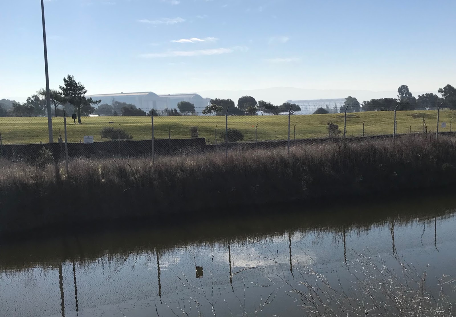
Tilt-up Construction on bayside flatlands
Tilt-Up Construction

More Tilt-up Construction with Cows
Hint of green in Fremont Hills


TAGQ Episode 10: Cartoon Penguin Rock Stars and The Winter That Wasn't

 TAGQ Episode 10:  Cartoon Penguin Rock Stars and The Winter That Wasn't Sparky the Fire Chief Sparky The Penguin from Tom Tomorrow (Dan...