Wednesday, January 23, 2019

Day 33: Adobe Creek to Seaport Blvd

Palo Alto Sailing Station


Day 33: Adobe Creek to Seaport Blvd
(Mountain View to Redwood City) 
Circle The Bay Part 3
January 10th 2019

16.0 miles in 3 hrs 10 mins


(Total:  360.5 miles in 79 hrs 42 mins)


One more day left on this circumnavigation after today.  I'm planning on biking to a boat launch in Redwood City, then kayaking into the heart of Inner Bair Island in San Carlos at high tide to wrap things up.

I've got to hand it to the techie culture of Mountain View and Palo Alto, there are more people out enjoying the bay, way out on the Bay Trail, than anywhere else I've seen.  They are walking, running, biking, painting.  Odd feeling not to be alone out there.

I sat and pondered all the waterfowl visiting the bay this, and got inspired to use their movement from slough to pond as a way of illustrating my own brand of techie culture.  Keep your eye on github.com/vectaport/flowgraph if you're interested in a nature-inspired presentation of a more natural model of computation, where (like the bay) it's all about the flow.

View near Adobe Creek

It's a Wilderness

The heavily used Palo Alto Bayland Trails

Painter at Work

Duck Watching

Foggy Day on the Bay

Kayaker on the Bay Water Trail

Nice Picture

Anise (Licorice) Bush

Bay Trail Bench

Bench for Bay Trail Champion

Palo Alto's Garbage Hill with Telephone Pole Artwork

View of Sea Scouts Base across Palo Alto Yacht Harbor which is no longer dredged

Grey Water

Former Waterfront of Palo Alto Sea Scout Base


Selfie

Lucy Evans Baylands Nature Interpretive Center

Palo Alto Airport

San Francisquito Channel Work

Cooley Landing Park, East Palo Alto

McDonald's Drive-thru for lunch

Breezing by Facebook

Salt Evaporation Pond Restoration

Former Home of Vectaport Inc.

Seaport Blvd.  Redwood City


Thursday, January 10, 2019

Day 32: Borregas Station to Adobe Creek

The superstructures of Moffett Field


Day 32: Borregas Station to Adobe Creek
(Sunnyvale to Mountain View) 
Circle The Bay Part 3
January 4th 2019

6.6 miles in 1 hrs 14 mins


(Total:  344.5 miles in 76 hrs 32 mins)


I am a day or two away from completing this circuit of the bay.  This section from Sunnyvale to Mountain View is the most fraught with memories for me.  I had my first job in California underneath Google's new super tent they are building in the Shoreline industrial park in Mountain View.  Too bad they had to let a lot of the redwoods die under where the tent was going.  Hard for me to believe that they were drought kills, or they had a conservation policy of not watering them

And Sunnyvale was the location of my first venture-backed startup.  That company is still going, making big waves in the semiconductor and artificial intelligence fields, and as a stakeholder I wish them well.  I also have to have gratitude that they gave me freedom to pursue this adventure.

But the biggest presence in this area is the federal government and military-industrial contracting (i.e. Lockheed Martin).  Well actually the fed's are on furlough right now.  And they have leased Moffett Field to the Google boys for 99 years with its oversized blimp hangars and wind tunnel.  Along with their fleet of military planes, a warm water port in Redwood City, and an international revenue and intelligence gathering operation, what else do they need to be an independent sovereign?  Here's hoping the democracy of the United States keeps them reigned in, or at least working for our side.

The trail next to Sunnyvale's garbage hill

The view from Sunnyvale's garbage hill

Always need a selfie now and then

Lonely park bench

Approaching the military industrial complex

Attempt to retake favorite selfie from walking around the bay

Sign Of The Times


A stand of cormorants on old walkway piers to the power towers

Yes we have duck hunting on they bay


Waterfowl away from water

Google's new tent superstructure to cover several blocks of industrial park

Shoreline Golf Course, the only golf course I ever played in California

Those big birds on stilt like legs


Friday, January 4, 2019

Day 31: Tasman Station to Borregas Station


Day 31: Tasman Station to Borregas Station
(San Jose to Sunnyvale) 
Circle The Bay Part 3
December 19th 2018

14.5 miles in 1 hrs 52 mins

(Total:  337.9 miles in 75 hrs 18 mins)


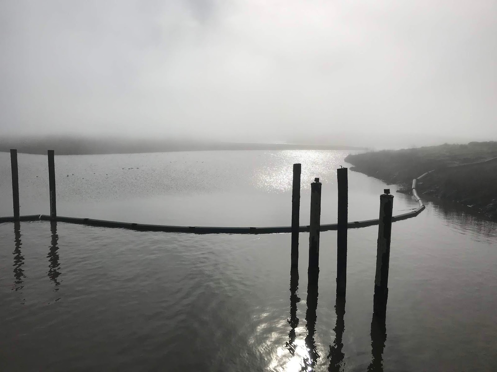
On the bike I spend more time exploring circular trails that jut out into the bay and its wetlands.  Today I rode around a restored salt evaporation pond.  There is no one else out there for miles of riding on barely tracked levees.  And with recent rains its becomes an adventure to maintain complete traction.

At the south CA-237 end of the bay 3 notable creeks become brackish sloughs at their mouth, Coyote, Guadalupe, and San Tomas.  Hard to imagine what it originally looked like with native vegetation down to the tidal mudflats at the edges of the sloughs as they curved and joined.  

Visiting the north CA-37 end of the bay does help though.  The Petaluma River winds through miles of wetland, and both sides of Sears Point have long stretches of open land down to the bay, not all of it historically used for agricultural or salt production.

Looking forward to seeing more restoration of bay wetland, for the most part letting nature do its thing with a little help from its friends.

Tasman Station


Capitol Expressway Tracks

Map of Alviso


Alviso Underground Pipe Construction


Disk Drive


Mallards in Don Edwards SF Bay NWR

Another Don Edwards SF Bay NWR center

Outflow between restored salt ponds

Inflow between restored salt ponds

Capitol Corridor tracks between restored salt ponds

Wildlife Refuge

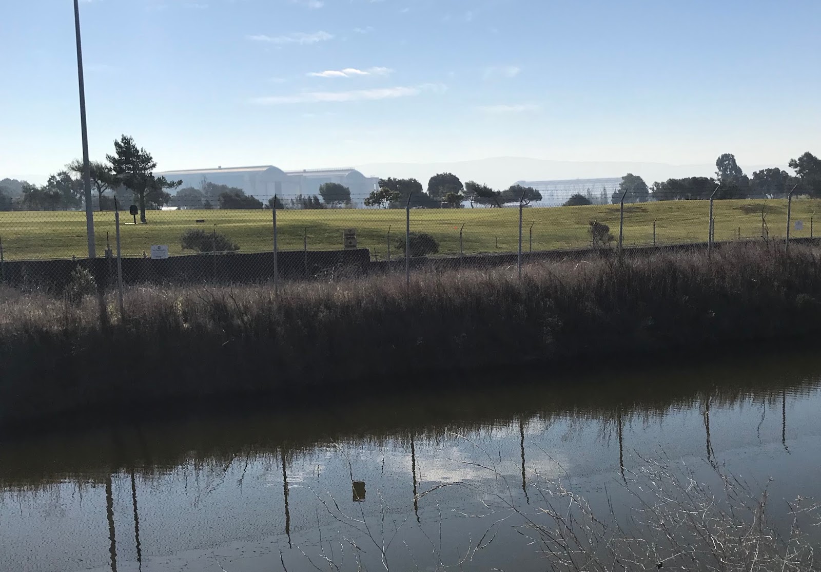
Adequate flood path for Guadalupe Creek under CA-237

CA-237 Bike Path rises up over San Tomas Creek Levee

Retaining Wall along San Tomas Creek

San Tomas Creek


TAGQ Episode 10: Cartoon Penguin Rock Stars and The Winter That Wasn't

 TAGQ Episode 10:  Cartoon Penguin Rock Stars and The Winter That Wasn't Sparky the Fire Chief Sparky The Penguin from Tom Tomorrow (Dan...