Monday, June 12, 2017

Week 8: Millbrae to Bair Island


 Week 8: Millbrae to Bair Island
May 30th, 31st, and June 2nd    

33.84 miles (374 Total)
14 hours and 28 minutes (171 hours 45 minutes Total)


Tuesday, June 6, 2017

Day 31: Bair Island


Day 31:  Bair Island
June 2nd, 2017

3.69 miles in 50 minutes

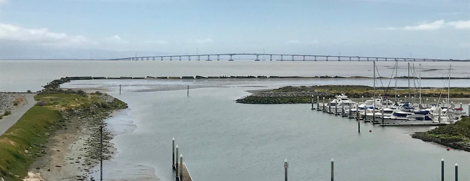
There was one more slice of the bay I could tack onto this hike, the reconstructed marsh land of the San Carlos portion of the Don Edwards Wildlife Preserve known as Bair Island.  This had been a hay farm in the past century, and exclusion of tidal action made the land sink as it was not renewed with new muck coming down the Cordilleras Creek.

The trail around this preserve barely touches any of it, and does not make it to the real Bair Island, only the body of land that reaches out to the slough named after Farmer Smith (I'd assume).  You can tell by my time that I was running, even if only a slow 13.5 minute mile.  After this I'm looking forward to more trail running, leading to a Ragnar Trail event in September in Wisconsin.

I will be organizing my thoughts into a "Day 0" post at sometime in the future to reflect on lessons learned on this hike.  But for now my desire to program has returned, as well as my fascination with nature's way of programming.  If you are still curious about me, check out my Instagram (scottj789) or Twitter (sejwords).  Otherwise, thanks for reading this far, and let me know if you are ever out hiking the entire bay and the day comes when you need a ride over the Petaluma River on CA 37.  I'll be glad to provide one.


Day 31:  Bair Island

    Starting Balance                                       54.99
  • Uber earnings since June 2nd                          (66.39)
  • Convenience Store drink and snack                       4.50
  • Red's Java House coffee and breakfast sandwich          9.50
    Ending Balance                                          2.60


Kombucha of the Day -- Pineapple with Tamarind Soda


Voice Notes:

I think I know why Google isn't putting up any ads on my blog. I have not included material about products that advertisers are interested in. I am not selling something that matters to moneyed interests.

Friday, June 2, 2017

Day 30: Foster City to San Carlos


Day 30:  Foster City to San Carlos
May 31st, 2017

16.23 miles in 7 hours 11 minutes

I've now walked entirely around the San Francisco Bay on the Bay Trail.  It took me 30 days.  I will do an extra credit run on San Carlos's Bair Island after a day of rest to bring the total to 31.  As a computer scientist it is hard to stop without reaching a power of 2 -- 32.  So that implies I have to write up a Day 0 account as well.

Below are pictures from this last full day.  Once I crossed the pedestrian bridge from Foster City to Redwood Shores I could visualize every step of the way home, and I lost the sense of patience I've had the entire trek.  Which made me appreciate that somehow I had avoided that hurry-up feeling for the past 29 days.

I looked at the wetlands that surround Foster City and Redwood Shores with quite a different eye after hiking the bay.  I appreciated the restorations that must have been a planned part of these developments and are still going on today.  I'm finally proud of San Carlos for being the bayside town that didn't develop its marshland on the other side of 101.  And I'm home.


Shorebird hunting

What are these orange patches?

Approaching Oracle from Foster City

The emergency access road between Foster City and Redwood Shores

Thistles are beautiful and edible too

America's Cup winner in 2013

Redwood Shores Library

High voltage transmission lines that march down the Bay

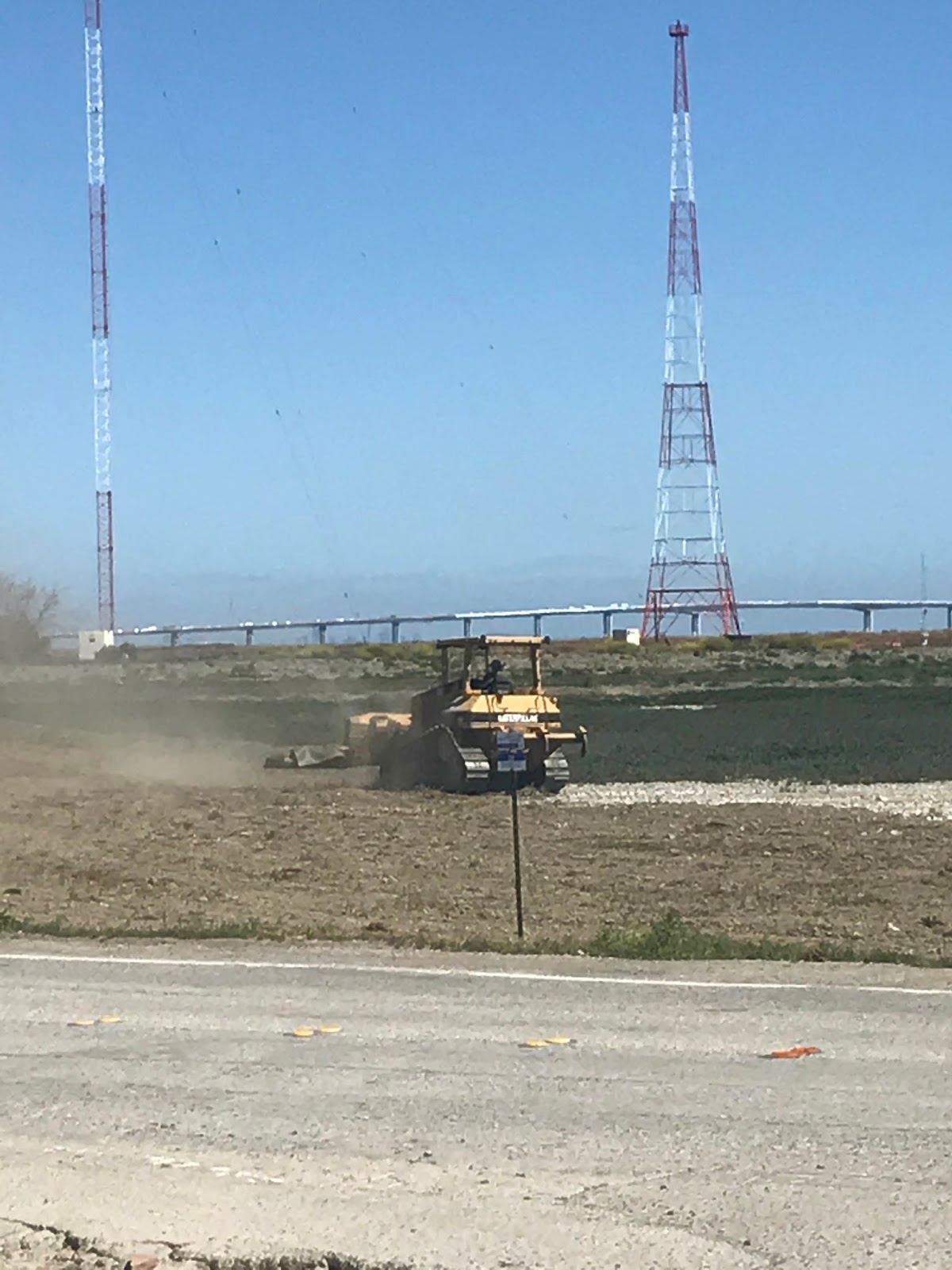
Bulldozer working on tidal marsh restoration in Redwood Shores
San Carlos Airport

Bay Trail at Bair Island
Attempt to give a high-five to the traffic hand

SamTrans ECR Bus which I didn't have to take


Day 30:  Foster City to San Carlos


    Starting Balance                                       24.26
  • Uber to Foster City                                    17.73
  • Redwood Shores Library Cafe Decaf and Bagel             8.50
  • Starbucks Decaf Iced Americano                          4.50
    Ending Balance                                         54.99


Kombucha of the Day -- Grape Cherry with Ginger Ale


Voice Notes:

Hit the trail at 10 after six this morning. Going to make it home tonight.

I'm a little surprised at how much seeing local stuff makes me want to get home.

I wonder what it would take to work for a venture backed startup again?

I'm looking forward to the self correction the people of the United States will cause to happen. Cuz sheesh. 

I know we are not the country I thought, but we don't have to stay that way.

There used to be an Oral-B building next to Oracle if I remember right. I never noticed the similarity in name before. 

I'm to the point where I can visualize almost every step to the way home.

To work for venture again would require not selling control. Mainly for the reason of protecting good future corporate governance.

No landfill hill for Foster City or Redwood Shores. And though they cover huge swaths of low-level islands they have preserved large swaths of marshland between them.

People talk of a barrier against rising sea levels to be built across the Golden gate Bridge. But then realize that at that point of water flowing out the bay is the deepest spot in the bay.


I have a hard time comprehending that walking brought me this far.

Wednesday, May 31, 2017

Day 29: Millbrae to Foster City


Day 29:  Millbrae to Foster City
May 30th, 2017

13.92 miles in 6 hours 27 minutes

A lot of today's hike was through the hotel wonderland south of the airport.   As you can see on the map below this is really straight east of the airport, but it is always hard for me to think of 101 as running anything but straight north and south.  At the Embassy Suites I warmed up with some coffee from their buffet as I sat down to do some programming for the day.


Benihana's on the Bay


Coyote Point is the most dramatic outcropping of of hills reaching the bay.  When I walked through it looked like there was a landscape painters meet up, with each picking their desired combination of trees, landscape, harbor, and bay to render.


Coyote Point


One of the larger landfill hills I've come across is between Coyote Point and the San Mateo Bridge in San Mateo.  They have it covered with kinetic sculptures that oversee the wind surfers and kite boarders down below.  None were out today, not because of lack of wind, but because of low tide.


Kinetic sculptures on San Mateo landfill hill


I was somewhat surprised how far I got by the end of the day, to a suburban shopping complex on the bay in Foster City.  To celebrate my trek being all but over I brought family out to dinner for ramen right here, to give them a chance to stare at the bay a little bit too.


Going out for Ramen


Day 29:  Millbrae to Foster City


    Starting Balance                                        6.47
  • Uber to Sequoia Station Caltrain                        7.29
  • Starbucks Decaf and Sausage Egg Breakfast Sandwich      5.40  
  • Samtrans Busses home                                    5.10
    Ending Balance                                         24.26


Kombucha of the Day -- Grape Cherry with Ginger Ale


Voice Notes:

At the bay today the wind dies away.

I don't have up-to-date knowledge of computing, I have future knowledge of computing.


I really think it was the high-voltage towers that go down the west side of the bay that turned me away from looking at it.

Week 7: San Francisco to Millbrae


 Week 7: San Francisco to Millbrae
May 24th, 25th, 26th, and 28th, 2017    

54.42 miles (340 Total)
23 hours and 32 minutes (157 hours 17 minutes Total)


Accounting: 

    Starting Balance                                        76.22
  • Uber Earnings over the weekend                          (7.85)
    Ending Balance                                          68.37

Kombucha of the Weekend -- Sweat Tea

Voice Notes:

nada

Tuesday, May 30, 2017

Day 28: Oyster Point to Millbrae


Day 28:  Oyster Point to Millbrae
May 28th, 2017

10.98 miles in 4 hours 16 minutes

The first two miles of the hike today were half of the Bay Trail 4 Mile run put on by DSE Runners club. I had little choice but to join in (because I'm a member) and run the two miles out and two miles back in 46 minutes.  This section of the trail is as brand new as all the Genenetch buildings it goes by.  After the race I drove and parked at the halfway point and continued the walk.

DSE Runners Bay Trail 4M


The trail took me across the Colma Creek first (yeah I guess that creek could have originated all the way over in the high cemetery town of Colma), and then the San Bruno Creek.  These creeks and surrounding wetlands are almost completely obliterated by the development around the San Francisco Airport, but you can get a glimpse of what a beautiful Novato-like cove this must have been.  It is still beautiful, you just have to appreciate what it takes in infrastructure to allow people to fly around the world on wheels or wings.

San Bruno Creek


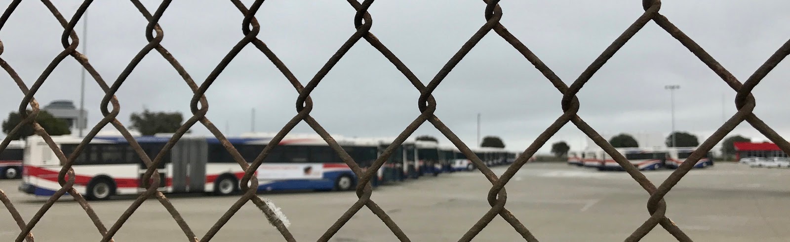
I took the time to walk completely around SamTrans Island.  Yes it is named after the county's public transit service.  And the middle of the island is filled with SamTrans busses.

SamTrans Island


The final stretch of trail today went along the backside of Caltrain and BART as they go by protected lowland between the airport and the tracks.  I hope the California red-logged frog still thrives there.  

Superstructure over BART tunnel


I-380 

Flight leaving SFO

Caltrain roaring by construction materials


Day 28:  Oyster Point to Millbrae


    Starting Balance                                       36.07
  • Saturday Uber Eats Deliveries                         (12.43)
  • Uber earnings to Oyster Point                         (14.19)
  • Bay Trail 4M dserunner Member Entrance Fee              3.00
  • Coffee and mints at 711 in San Bruno                    4.50   
  • Uber earnings from Oyster Point                       (10.48)
    Ending Balance                                          6.47


Kombucha of the Day -- Pineapple with Ginger Ale


Voice Notes:


nada

Sunday, May 28, 2017

Day 27: Heron's Head to Oyster Point


Day 27:  Heron's Head to Oyster Point
May 26th, 2017

18.29 miles in 7 hours 40 minutes

There is a lot of parkland on the north side of Hunters Point, including a brand new shoreline park constructed on the former site of a PG&E power plant.  To guard against graffiti, the park signs are all metal with pictures and words drilled in as a field of holes. 


Hunters Point Shoreline 

India Basin Shoreline Park


Another addition to this area is the latest mosaic tiled stairs in San Francisco, that leads up from this bayside shoreline to the peak of Hunters Point and a bank of rental apartments that haven't seen much landlord investment or other upkeep in recent decades.  Laura and I went searching for this stairs one day in an Uber, but the GPS was confused and we didn't feel like going by foot in the neighborhood.


Hunters Point mosaic tiled staircase


But this time I walked through the whole neighborhood, and discovered that the long planned Hunters Point redevelopment is underway.  There are enormous condominiums under construction on the crest of the hill, and below it you can see the almost completely abandoned Naval Shipyard.  When I tried to walk through the shipyard, a private security guard in a portable booth in the middle of the road stopped me and said I couldn't go any further.  I asked why and he said it still belonged to the Navy.  There was no signage, no permanent guard kiosk, just this guy saying please turn around and hike back up over that hill if you want to get to Candlestick Park.


Panorama from top of Hunters Point


Other than apartments on the ridge,  Hunters Point is made up of a grid of streets below the ridge that stretch from the bay to 101.  I realized I had been through this neighborhood several times before for Uber.  This seems like a neighborhood ripe for artistic settlers, if not outright gentrification.  Which will lead to the usual displacement of those who make their money providing services with those who make their money providing advertisements (it's not Silicon Valley anymore).
Remaining traffic sign for Candlestick Park

After walking by the torn down Candlestick Park, walking to the end of Candlestick Point, I crossed under 101 to traverse the western side of the landscape hill that is so cleverly hidden next to the freeway on this stretch of 101 built across Brisbane marsh.  The town of Brisbane seems completely lost behind the huge constructions of highway and railroad and recycling facilities of the city that sit in front of it on the former marshland.  It does have a marina.
San Francisco Recology truck in front of San Francisco landfill hill

I walked around Sierra Point (also known as the Brisbane Marina) where I've both ran and volunteered for a run put on by the DSE Runners club.  I parked the car at the turnaround of this Sierra Point 5K, a convenient Bay Trail parking lot.  I wondered where this week's run would be, looked it up on my phone, and discovered it was the Bay Trail Run 4M on Sunday at Oyster Point, a mere 2 or 3 miles farther on the trail.  So I pushed on to the Oyster Point Marina and took an Uber back to my car.  And just like I fit the Bay To Breakers in last week, I'll be incorporating this run into hike on Sunday.


Brisbane Marina/Sierra Point Marina


Day 27:  Heron's Head to Oyster Point


    Starting Balance                                       37.10
  • Uber earnings to Oyster Point                         (15.78)
  • Uber to Heron's Head                                   11.99
  • Cappucino at new Hunters Point store                    4.50   
  • Uber back to car                                        6.73
  • Uber earnings from Oyster Point                        (8.47)
    Ending Balance                                         36.07


Kombucha of the Day -- Cranberry


Voice Notes:


Money makers and moneychangers are the false god he warned us about.

Something the driver of 101 never knows: Hunters Point and Candlestick Point are separate points.

I think the Sermon on the Mount is the best organizing principle for a future sustainable economy as any I've heard.

I found the landfill hill for San Francisco and it’s city sized.

Almost virgin tonic would be a gin and tonic with just a teaspoon of gin.


Candlestick Point looks like a candle stick, Oyster Point looks like the sphinx.

TAGQ Episode 10: Cartoon Penguin Rock Stars and The Winter That Wasn't

 TAGQ Episode 10:  Cartoon Penguin Rock Stars and The Winter That Wasn't Sparky the Fire Chief Sparky The Penguin from Tom Tomorrow (Dan...