Thursday, September 28, 2017

Day 5: Over the River and Thru the Woods


Day 5:  Over the River and Thru the Woods
Sept. 15 2017
(Circle the Bay Part Two)

508 miles in 9 hours


(Total 2343 miles in 49 hours)


The self-imposed deadline for this blog is before the next day of travel, a day devoted mostly to motion in a certain direction.  So as I'm waiting to get on a plane to Baltimore from Minnesota I'm scurrying to document how I traversed Minnesota almost two weeks ago, dropped off the antique sewing machine, and made it to the northwoods of Wisconsin to hang with friends.

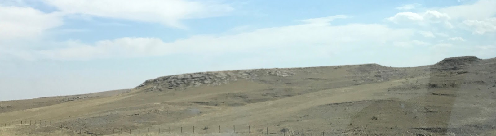
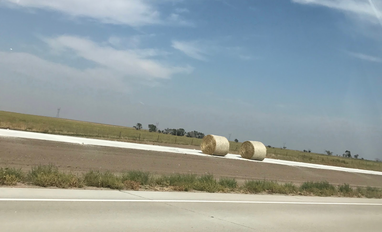
I started the morning in Omaha on a green grass campground on the river confluence west of town.  Driving through western Iowa I got increasingly concerned about the visual impact of massive amounts of wind turbines, and was relieved that one county eastward they banned them entirely, allowing the mind to return to contemplation of what white men did to the still beautiful land before wind turbines.


Leaving Minnesota thru Wabasha the GPS took me away from the obvious US Highway and put me on Wisconsin highways thru towns new to me (except Menominee, which is old hat from college road trips).  A bald eagle buzzed the highway as it crossed the Mississippi River.  

The river and woods to the north and east of the prairies are where I grew up.    I never knew the prairies extended to Chicago.  And hey I got a window seat!  Right side of the plane too (literally and figuratively).

Album of The Day:  I forgot by the time I wrote this, and I when I went back to check the Recently Played playlist it was stuffed with songs being played on the Apple Music family plan.  I'm glad to see Ben is listening to good music in New Zealand.


Friday, September 15, 2017

Day 4: The Prairie Sea


Day 4:  The Prairie Sea
Sept. 14 2017
(Circle the Bay Part Two)

541 miles in 10 hours


(Total 1835 miles in 40 hours)

I drove from the Comfort Inn of Laramie Wyoming to the Two Rivers State Recreational Area outside of Omaha Nebraska.  I set up the tent after dark using the headlights from the Prius to illuminate the luxurious green grass of the campground.


To make driving exciting it helps to realize how amazing it really is. I am piloting a vehicle that flies inches from the ground on four rotating cushions of air.  A magic carpet that I have to keep between two lines on the road that mark my lane. You fly in close precision with other passenger and cargo vehicles, over hill and dale.  This is made even easier by the Prius's automated cruise control that can detect the lane you're in and the car or truck in front of you to slow down as needed.  

And today I flew my car over the wide open seas of the American prairie.  On the downhill slope from the Rockies Mountains, the hills and valley roll on and on like a windy sea, with occasional "whitecaps" breaking out in outcropping left by the eroding power of rivers.

I realized I had a need to cross this entire span before resting on the shores of the Missouri River (or its tributary).  I felt awed by all that open land, dotted occasionally by four-legged grass feeders that seem less dangerous than sharks and crocodiles, but are they?  I wondered why I felt the need to cross in a hurry, given land is so much easier to traverse than water.

But is it? With a boat I could go anywhere across a real sea, but here with my low-flying plane I can only go where a guideway has been built for the most part, though off-road is always possible if not advisable.  And there is little shelter out there on the prairie.

When I went to University of Minnesota my dorm mate was from the wide open spaces of North Dakota, and felt hemmed in by the mixed forest of eastern Minnesota.  As I drove through Nebraska, I-80 eventually follows the Platte River valley, which has an abundance of water compared to the surrounding plains.   First the trees, and then the farms showed up.  Knowing the land was cultivated made me feel at home, safe and sheltered.  And what does that mean?  I'm a camper in California?

Laramie River, a Platte River Tributary

Platte River Tributaries 

Wyoming State Capitol Under Construction

Rolling Hills Capped Rock Outcroppings

New Concrete Section of I-80, Hay Used For Construction

Weird Metallic Arthropod Lurking in the Corn

Album of The Day:  Magic Potion by The Black Keys


I decided to choose an album name that started with the letter M, and chose Magic Potion before I knew it was a Black Keys album.  This albums pre-dates their huge arena filling success, but it shows there elements of fuzzy bluesy guitar and drums.  But with this album I found myself drawn to the simpler slower songs because there I could find something I hadn't heard that much of since they became big.


Thursday, September 14, 2017

Day 3: Green River


Day 3:  Green River
Sept. 13 2017
(Circle the Bay Part Two)

655 miles in 12 hours
(Total 1294 miles in 30 hours)

I drove from Thomas Canyon Campground near Elko Nevada to the Comfort Inn in Laramie Wyoming.

Along the way I traversed from the salty dry lakebeds of Nevada and Utah to the rolling mountainous foothills around the Green River that starts in Wyoming.  

Salt Lake City sits at the boundary of these two regions, with the Great Salt Lake in front of it, and the Wasatch Mountains behind it.  I was impressed that the Utah State Capitol sits on a higher hill than Mormon Tabernacle, a proper ranking of state over church the country is founded on.


Bonneville Salt Flats, Western Utah

Utah State Capitol
The Mormon Tabernacle Below Capitol Hill in Salt Lake City

The rolling terrain of Wyoming looks sculpted by wind and rain, and up to the Green River any drop of rain on my car might well bounce off and end up in a glass of drinking water in Los Angeles.

Eastern Utah Reservoir

Transcontinental Railroad

Solar Windmills Along I-80

Green River, Wyoming

Rain in Green River

Today I kept driving past sunset, so I could get within a two day drive of my destination in Wisconsin.  Nice to sleep in a bed for the night.

Sunset on Day 3 While Driving

Album of The Day -- You're Living All Over Me by Dinosaur Jr.

Sonic Youth discovered this band where the lead guitarist, J. Mascis, wanted to back a band with a wall of sound like John Bonham's drumming for Led Zeppelin.  Finding he wasn't up for that, he switched to electric guitar.  Can you hear the music in this wall?


My secondary album of the day was 40 Oz. to Freedom by Sublime.  Listening to both these albums I was struck by how many of the songs for each seem like a songwriter attempting multiple times to plumb the same inspiration.  Some are hits, some are misses.  And the albums are also stuffed with one-offs and covers you never hear on the radio.


Wednesday, September 13, 2017

Day 2: Great Basin


Day 2:  Great Basin
Sept. 12 2017
(Circle the Bay Part Two)

398 miles in 9 hours
(Total 639 miles in 18 hours)

I drove from Emerald Bay on Lake Tahoe in California to the Thomas Canyon National Forest campground near Elko Nevada.


West Side of Lake Tahoe

Boat Crossing The Road On A Lift

Album of The Day -- Another Green World by Brian Eno

This album by Brian Eno has been in my head for years, and I realize other than St. Elmo's Fire the songs aren't that catchy.  It's more than atmospherics that appeal to me, or I should say aquascape, because every song evokes an underwater feel, or a planet with different water breathing lifeforms.  Another Aquamarine World would be an alternate title.  Seems this album was a step toward the ambient music Eno got into next.


The album that almost took Album of the Day was An Awesome Wave by alt-J.  It's a blend of soulful music, everything tasty.  I had no idea who they were, but I let it play, and I'm glad.


Reno

In Reno I made a stop at REI, for another water bottle for crossing the desert, and to replace my trust old white-gas burning camp stove that sprung a leak and flamed out while cooking bacon this morning.  To avoid burning down the forest I used a pliers to grab the fire-throwing contraption and put it in the fire ring.  Good bye Naked Svea (the camp stove's name).
Naked Svea Flameout


Reno is Northern California's version of Vegas.  I haven't driven through here in 30 years, and free-standing hotels have sprung up out by the airport and the freeway, giving it that same feel as Vegas, where the Strip grew up away from downtown.

Rest Stop Signage

Elko

Right before Elko is the California Trail Interpretive Center, which was closed by the time I got there.  Even before that my eyes had been looking at the vast openness of Nevada with more appreciation than the last trip thru.  What I see now is vast empty lake beds, bodies of water that eventually drained once they overflowed enough to erode river canyons.  Which made for fairly good travel from Utah to California, except for the parts where there was no water left in those rivers.


With that in mind, I now have more appreciation for man-made reservoirs in this region.  It's not really man-made, it's man-restored.  Now if we could only restore some dinosaurs to swim around in them.


Thomas Canyon at Sunset

Thomas Canyon at Sunrise

Blog Typing in a Nevada Casino


Tuesday, September 12, 2017

Day 1: Emerald Bay


Day 1:  Emerald Bay
Sept. 11 2017
(Circle the Bay Part Two)

241 miles in 9 hours
(Total 241 miles in 9 hours)

I drove from San Carlos on the San Francisco Bay to Emerald Bay on Lake Tahoe, just in time to catch a thunderstorm on the shores of the lake.


Album of The Day -- Abbey Road by The Beatles

Browsing albums, this one popped into my eye and my mind first.  Maybe because I had taken a bon voyage picture in bare feet this morning, and I identify with Paul who famously walks across an Abbey Road crosswalk in bare feet on the album cover.

I realized I had never given the album a full listen.  Come Together still feels inventive after all these years.  The jam that proceeds the end of The End is captivating.  And someone should do a cover of Sun King.  


Sacramento

I stopped to visit my friend Jen in Sacramento, and we went out for a lunch of Salmon Reubens at the The Easy on I.  


We walked by the governor's mansion that Jerry Brown has lived in more years than anyone else ever will (2 terms with his dad, 2 terms as a young man, 2 terms as an old man).


And we passed thru security to see the inside of the State Capitol with its beautiful ornate rotunda.


But I had to ask, why is this statue prominently featured on one of the Capitol entrances? What place does a royal crown have on a statue in a state government building?   Didn't we win that war too?


Emerald Bay

The approach to Emerald Bay from the south has been marred by a forest fire.  Last time I drove through this in the middle of the winter on a snowy night and there was a full line of trees between the road and the lake.  I had no idea how much the road hung over the lake.


The campground for Emerald Bay State Park had closed the day after Labor Day, so instead I camped in the National Forest campground across the road from the vista stop.  I waited for a gap in the rain to erect my new 2 person tent.

And then it rained good and hard half the night, with lightning flashing all the time.  I felt secure inside my tent as the rain fly did its job.  And it was sunny in the morning.


Monday, September 11, 2017

Day 0: Circle the Bay Part Two

Day 0:  Circle the Bay Part Two


I am about to embark on a new trip to visit other bays across the country.  I will post a blog entry after each day of travel.  My black 2017 Toyota Prius is packed with camping gear, running gear, and an antique pedal driven sewing machine I'm returning to the Midwest.  That loaded down I'm sure I won't see 50 miles per gallon, but I'm hoping the automated cruise control will keep me up to 45 mpg.

Antique Pedal Driven Sewing Machine
After hiking around the entire San Francisco Bay Trail in April and May of this year (2017), I never wrote a summary blog post that revisited that trip.  It really changed my perspective on the Bay as a whole.  I've had this tweet pinned at the top of my Twitter profile (sejwords) since then:


Since then I've been training for this upcoming Ragnar trail run in the north woods of Wisconsin.  Luckily there have been a few trail runs in my running club this summer, the latest being the inaugural Sweeny Ridge 5K Trail Run that starts at Skyline College and goes up to the ridge where the Cold War ruins of a Nike missile site can be seen.  The race director said this was like a mini Double Dipsea, and the club should know having invented that race.

View from Sweeney Ridge, San Mateo County, Looking Toward San Bruno Mt.


 Ragnar Trail Northwoods

I'm off to visit more of the United States, from Bay to Bay.  This post is an attempt to kick start the writing juices as needed, to write in a form longer than 140 characters. Wish me luck.


TAGQ Episode 10: Cartoon Penguin Rock Stars and The Winter That Wasn't

 TAGQ Episode 10:  Cartoon Penguin Rock Stars and The Winter That Wasn't Sparky the Fire Chief Sparky The Penguin from Tom Tomorrow (Dan...