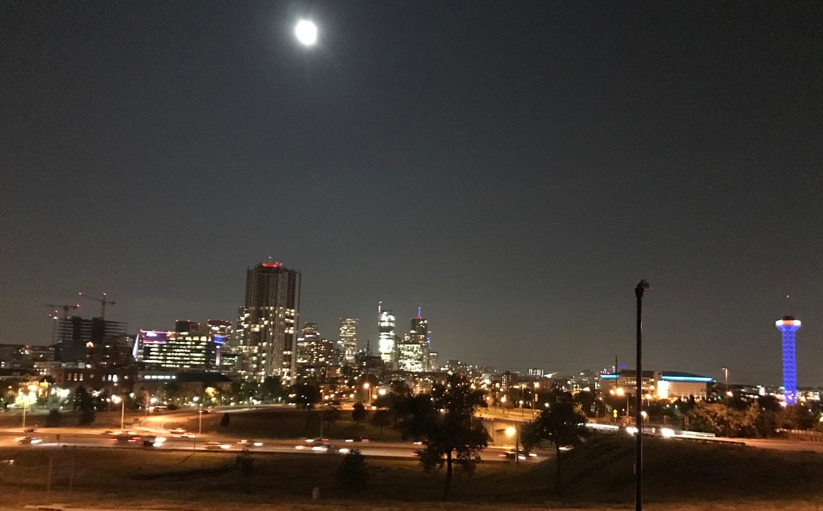
At 3:30 AM I woke up and got out of my tent. The night was so warm and bright, the full moon in the middle of a perfectly clear sky. Realizing I wasn't falling asleep soon, and seeing that well, I packed up the tent and crawled out of the campground by 4 AM.
I drove through the Mojave Desert before sunrise. There were active red-lights marking the hillside by Edwards Air Force Base. Do the locals have to stare at these lights every night, or were they using the airbase at that time of night?
Having crossed through the strangeness of Utah and Nevada, California felt very comfortable. We have no water but who cares, we have technology! As soon as I can I'll have to go for a run down by the bay. To say hello again.
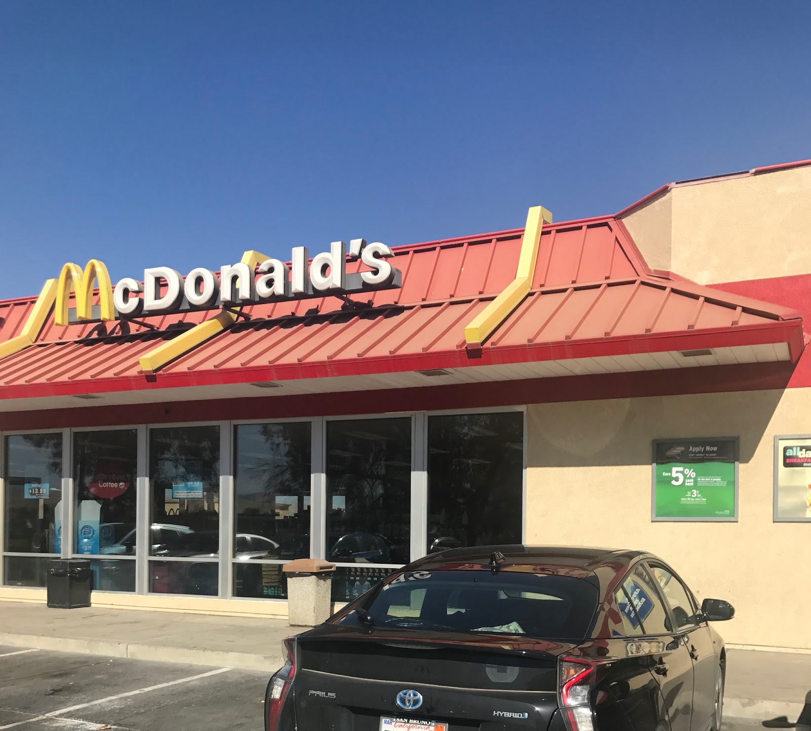
Sausage and Egg McMuffin Breakfast with Internet
Central Valley Orchard along I-5
Life in the I-5 Fast Lane
Pacheco Pass Oak Woodland
Home Again
Song of The Day: Hang in Long Enough, Phil Collins
Writing to follow at next stop, but had to publish so I could test video link. In the meantime, enjoy Frank Zappa. Ok stopped for a Sasuage McMuffin with Egg on I-5 to finish this blog entry. I-70's course thru Utah and then Nevada on the way to Las Vegas is a stretch of naturally sculpted rock vistas of great variety. On my first trip west we had turned north toward Salt Lake City before encountering a lot of the amazing views of this stretch. I-70 has I-80 beat for amazing rest stop vistas by far. All along this trip I've been studying the results of erosion against upheaval, and most landscapes make sense to me. Except for this stretch, where its seems larger forces are at play than I can imagine. Pictures I've taken do it little justice. To do it justice would require a rider prepared to point and shoot out the car window with better equipment than an iPhone.
Maple Grove Campground
Maple Grove Campground
French Toast and Bacon for Breakfast
Driving thru Las Vegas today I couldn't find the words. I did take pictures of a few towers.
A brighter future was portrayed, literally, on I-15 west of Las Vegas where solar collecting towers sit in the midst of a field of mirrors focused on the tower. These towers glow in an otherworldly Steven Spielberg way.
Solar Collecting Towers West of Las Vegas
Then on into a California sunset and the Californian desert. It was dark but moonlit before I pitched the tent in this Bureau of Land Management campground. There were warning signs to watch for desert tortoises on the dusty road carved out of the terrain to reach the campground. It was so warm compared to the night before in the Utah high desert.
California Sunset
Giants of Electricity
Watch Out For Desert Tortoise Crossings
Fully Moonlit Night in Owl Canyon Campground
Album of The Day: Uncle Meat by Frank Zappa and the Mothers of Invention
Descending the Colorado River through the Glenwood Canyon I started to feel at home in the West again. Now I was back to the dry mountainous territory I've lived in for half my life.
Trail Maps for ATV's and Mountain Bikes in Western Colorado
Mormon Rafting Group on the Colorado River
Rest Stop with a View in Utah
Thomas Utah
The campground at the end of the day was a National Forest one, in a grove of maples up the side of long wide draw where US 50 runs north from I-70 to Salt Lake City. The maples being deciduous were turning red, which gave a splash of vegetative color to the otherwise colorful stone covered with evergreens.
Salina Utah
Maple Grove National Forest Campground, Fillmore, Utah
Blogging like this takes a certain effort to find and use internet coverage while moving across the vast United States. And it seems writing is the thing I always leave to last, something to finish before really starting the next days trek.
I would have a lot more material if I was using Voice Notes like I did walking the bay. But I'm not quite there with comfort at dictating while driving. So instead I just tell myself stories and observations and try to remember them.
Here's an observation to end this entry: the Interstate system of continuous roadways that flow freely from state to state is truly the thing that binds us as Americans. More than the taxes or voting we do in private. More than the story we tell ourselves about our past or our future. It is those freeways with their uniform signage and uniform rules of the road that makes everywhere in the United States feel like the United States, to all its citizens and all its visitors and immigrants. And it is the completely democratic method to see the land, available to all. Hypertubes, the bar has been raised pretty high.
I camped at a reservoir in the middle of the Kansas high plains and woke up to steady rain that luckily was not flooding the grassy knoll I chose to pitch the tent. I found out with this new 2-man tent I have that you can take down the tent while keeping up the rainfly.
Tent Down, Rainfly Still Up
Wilson State Park, Kansas
Kansas High Plains
Denver was 400 miles down the road, so I found an AirBnB near downtown. I walked from the Highland neighborhood, across I-25, the river, and the tracks into lower downtown. Then I kept on walking all the way thru upper downtown to the Colorado State Capitol, which sits on the biggest hill in town.
Pedestrian Bridge over South Platte River
South Platte River, Denver Colorado
Union Station, Denver Colorado
Colorado State Capitol
USGS Mile High Proof
Worn out enough, I took an Uber to the Nocturne Jazz club that featured a double-drummer show that honored Max Roach, Charles Mingus, and Duke Ellington. There was a lot of color and story to listen to in the interplay between the drummers. I was lucky to be at that show.
I was surprised when driving south on I-35 to cross the Missouri River. I forgot that Missouri is the state where internal to its boundaries the Missouri River traverses from the path of the Mississippi to the its own path west of Iowa and the northern half of Missouri.
In other words I didn't know Kansas City Missouri was west of the Missouri River. Where the Kansas River flows into the Missouri. This all made Kansas City feel far more like the Twin Cities than other cities I've visited. Bluff cities with flatland industry at a confluence of rivers. And a place worth visiting for music, as the list of open mike blues shows in Kansas City was as long as the meat commodity market announcements in Iowa.
I-70/I-35 Bridge over the Missouri
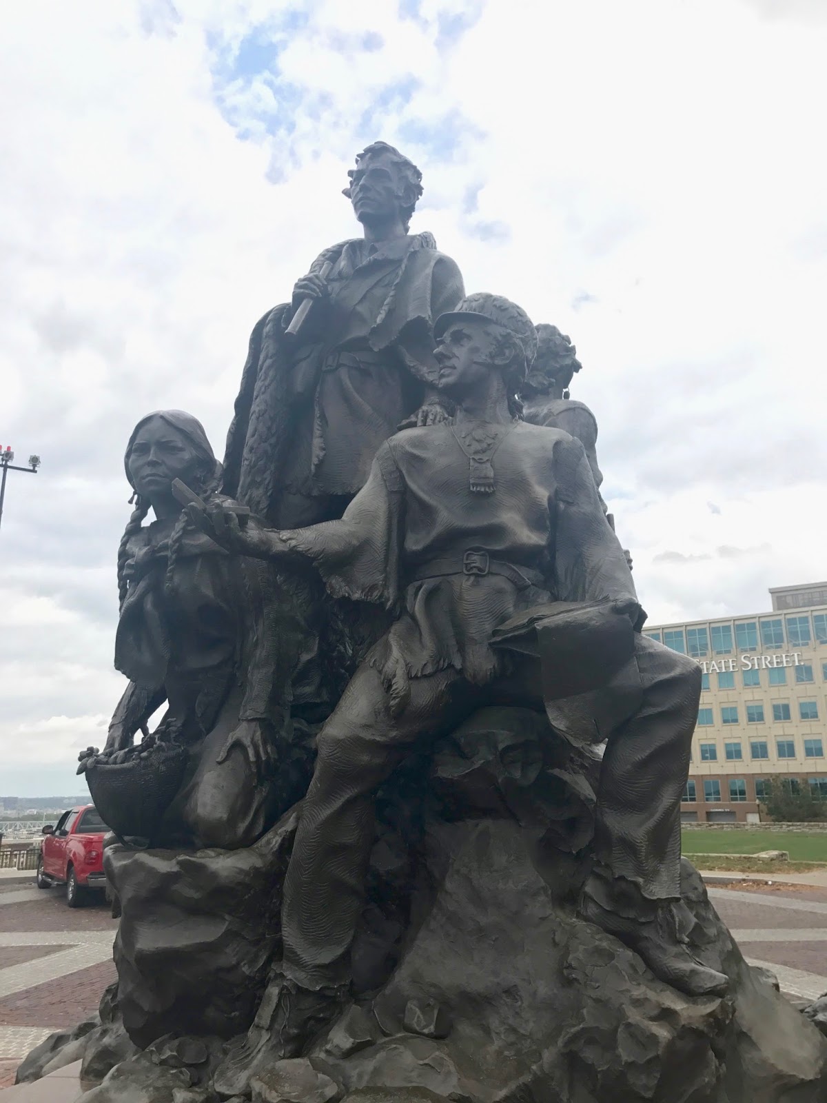
On Quality Hill overlooking the bend in the Missouri River where the Kansas River joins, there is Clark Park with a statue of Clark, Lewis, Sacagawea, York (Clark's slave), and Seaman (Clark's Dog).
Sacagawea, Clark, and Lewis
York, Clark's Slave and a Seaman, Clark's Dog
At the Kansas State House in Topeka I learned that the Kansas Territory was given the choice to enter the United States as either a free or slave state, and they had to decide before applying. Supporters of North and South flooded the state, and armed conflict sprang up as it took 10 referendums to resolve the question and enter into the Union as a free state.
Kansas State House, Topeka Kansas
For me this provided backstory to John Brown, the abolitionist zealot from Kansas who sparked the Civil War. In a mural in the State House he can be seen astride the battling Union and Confederate troops with a definite crazy look in his eye, seeing farther than the rest.
Mural in Kansas State House Featuring John Brown
Album of The Day: Ray Charles, Genius Loves Company